
APL-Lab Research
Current Projects
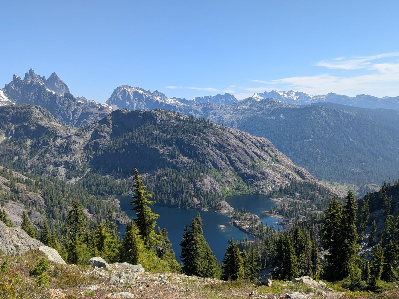
The Nexus of Long-Term Human Pyrogeography, Environmental Change, and Climate in the High-Elevation Social-Ecological Systems of Washington’s Cascade Range
This project investigates social-ecological relationships within Pacific Northwest high-elevation ecological zones, emphasizing long-term cultural burning practiced by indigenous communities. The primary objectives of the project are to conduct archaeological surveys of subalpine ecosystems; interpret processes of high-elevation subsistence during the early Holocene and subsequent changes in burning practices; and investigate how subsistence land management influenced historical fire regimes and long-term ecosystem stability/change. Dr. Snitker and students are currently spending summers conducting archaeological investigations in the Alpine Lakes Wilderness in Washington State for this project.
Sponsor: National Science Foundation (NSF)
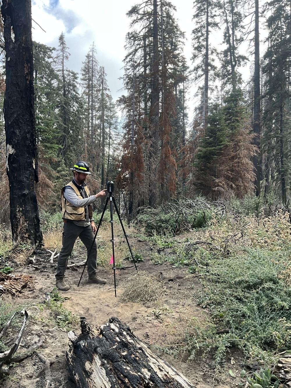
Advancing LiDAR Applications for DoD Cultural Resource Management Through Machine Learning Algorithms for Archaeological Survey and Risk Modeling for Cultural Resource Hazard Assessments
Through this project, we are developing a LiDAR toolkit for cultural resources with two focal areas: 1) detecting and describing archaeological features within ground-filtered LiDAR products using machine learning (ML) approaches and 2) assessing wildfire and prescribed fire hazards to cultural resources by connecting LiDAR-inventoried fuels to potential direct and indirect adverse effects from wildfire and prescribed fire. This toolkit will advance methods for archaeological site inventorying and monitoring, allow for rapid post-disturbance triage of sensitive sites and resources, and mitigate impacts of changing climate (i.e., wildfire regimes) on heritage landscapes and cultural resources within DoD properties. Currently we are partnering with Joint Base Lewis-McChord, WA and Fort Carson, CO to demonstrate this research program.
Sponsor: Department of Defense Environmental Security Technology Certification Program (ESTCP)
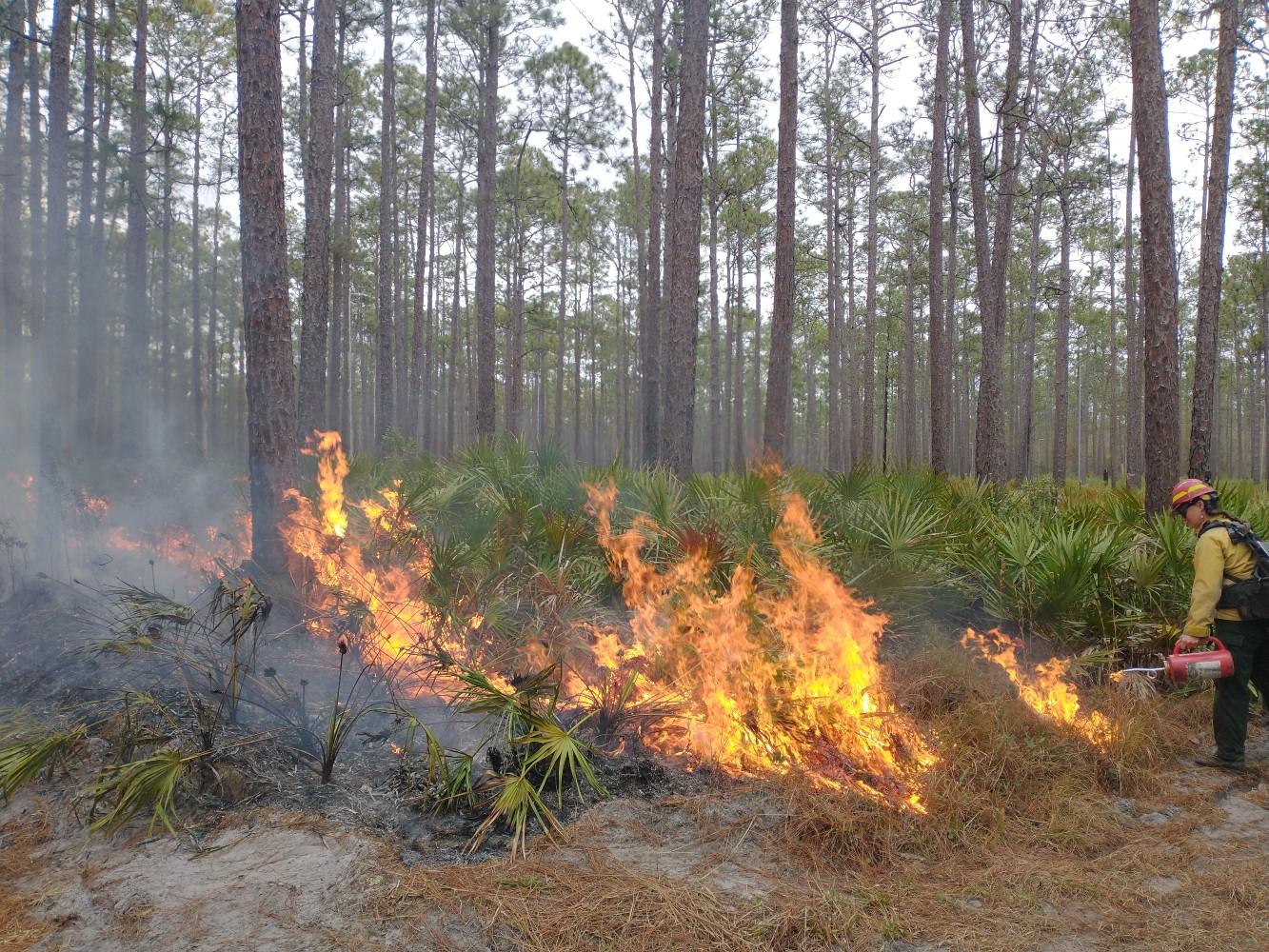
Design, Development and Delivery of Wildland Firefighting Training
In partnership with the National Interagency Prescribed Fire Training Center (NIPFTC), we are designing and delivering training to wildland firefighters at the National Fuels Academy that incorporates the latest research on fire effects on cultural resources. We are also developing new, hands-on learning exercises using web-based and interactive GIS platforms to explore decision making to protect highly valued resources or assets (HVRAs) during prescribed fire and wildfire incidents.
Sponsor: USDA Forest Service
Other Projects
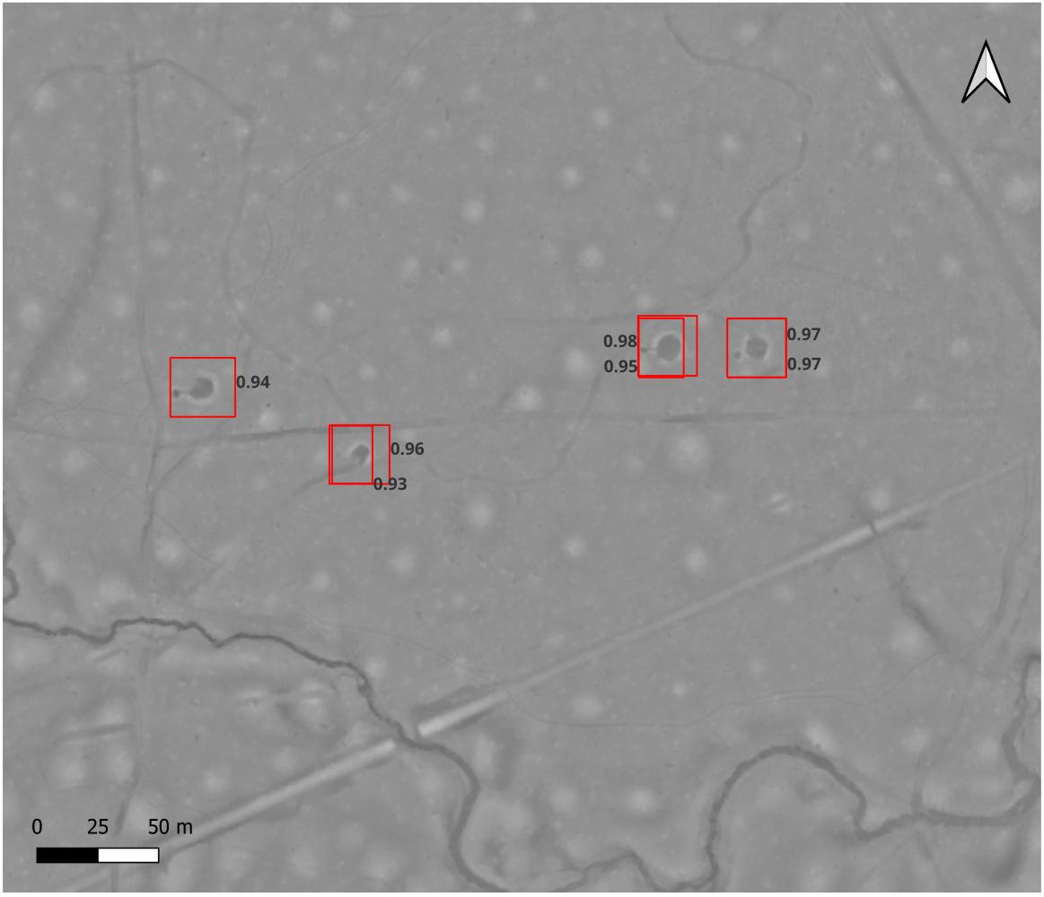
Cultural Resource Detection using Light Detection and Ranging (LiDAR) for Management during Pre-planning in Timber and Fire Activities
Prior to arriving at USU, Dr Snitker and researchers from the New Mexico Consortium worked with USDA Forest Service and US Fish and Wildlife Service partners to collect and process point-cloud data for the Kisatchie National Forest. This data was used to develop a forest-wide machine-learning modeling library to create new tools for archaeological feature detection for site identification, predictive models, and cultural resource management. Publications and research related to this project are ongoing at USU.
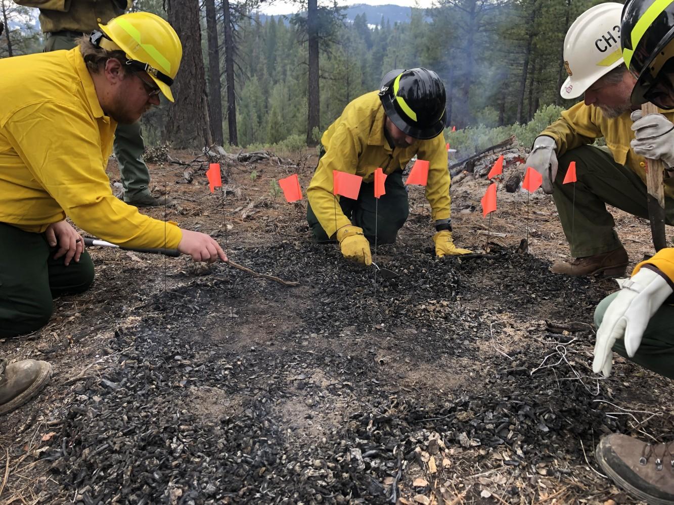
Evaluating Impacts of Pile Burning and Fuels Treatments on Surface Archeological Sites Using Experimental Archaeology
In partnership with the Plumas National Forest, CA, we are collecting data to evaluate the impacts of pile burning of precontact, surface archeological sites. We have utilized an experimental archaeology approach to replicate artifacts and expose them to pile burning while collecting data on energy transfer and potential adverse effects.
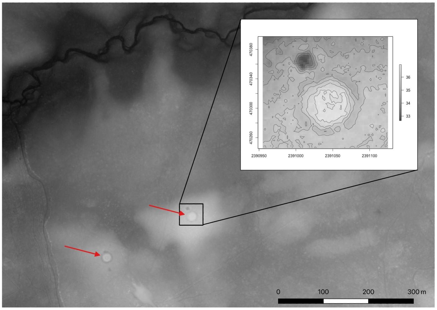
Tar Kilns, Forest Histories, and New Archeological Insights on Restoring Long Leaf Pine Ecosystems in the US Southeast
We are collaborating with the USDA Forest Service’s Southern Research Station and the Francis Marion & Sumter National Forests in South Carolina to investigate the historic pine tar industries impact on long leaf pine forest distribution, structure, and fire history. We use machine learning to map tar kilns, novel approaches to Bayesian 14C analysis, and ecological modeling to understand recent changes to fire, fuels, and carbon cycling in these unique ecosystems.